We briefly describe here the databases available to answer our objectives.
Biodiversity
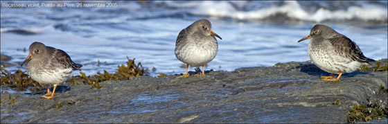
Birds: We will use two databases depending on objectives. (1) ÉPOQ (Étude des Populations d’Oiseaux du Québec) is North America’s longest running and second largest (largest in Canada) bird checklist compilation program. ÉPOQ compiles observations (> 300 species) from the amateur birders of Quebec. Each record contains the number of birds seen or heard on a single day’s visit to a single locality. The database contains ca. 6.5 million records collected from > 450,000 checklists and 5,500 localities (defined to the nearest minute of latitude and longitude). (2) BBS (Breeding Bird Survey) is a standardized breeding season roadside survey along randomly chosen routes across North America. Volunteers make 50 3-min stops every 0.8 km along prescribed routes, recording all birds seen or heard. Geographical coverage of Quebec is roughly equivalent in ÉPOQ and BBS (mostly south of 51° N) but strengths and sources of bias are different. Spring trends in abundance and frequency of detection were significantly correlated between ÉPOQ and BBS data sets. Data from the past 35 years can be used from both sources.
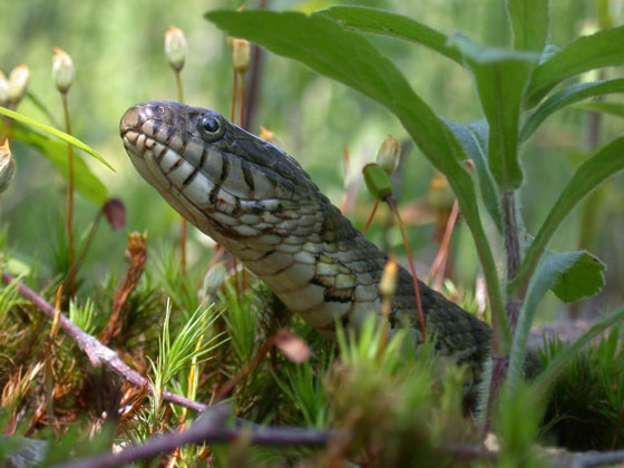
Amphibians ans reptiles: The database Atlas des amphibiens et des reptiles du Québec is equivalent to the ÉPOQ database described above, in that it is mostly a checklist compilation program that gathers observations (21 amphibian and 16 reptile species) from amateur herpetologists of Quebec. The Atlas contains ca. 70,000 records from > 300 herpetologists. Localities are defined to the nearest minute of lat. and long. Geographical coverage is mostly limited to the southern portion of the province, where most species are.
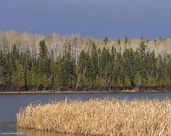
Trees: The Canadian forest inventory is a systematic measurement of tree volume on a 10 km x 10 km grid in Southern Quebec (ca. < 51° Lat N) and 50 km x 50 km in Northern Quebec. If it proves useful we can combine this with the United States Forest Inventory (20 km x 20 km grid), which covers all of the Eastern forests south of Quebec. We will access satellite photos (US Geological Survey) in the infrared spectrum which have been converted to NDVI (normalized difference vegetation index). These data are available in 10-day periods throughout the year for almost two decades and will allow us to detect recent changes in the time of leaf out.
Plants other than trees: Information will be retrieved from all major herbarium collections (> 100 000 specimen) in Quebec (MT, MTMG, QFA, QUE) and the North-eastern United States (NY, BH, GH, VT, NHA, MAINE), from the National Herbarium of Canada, from the Environment Canada (EC) database on the Biodiversity portrait of the St Lawrence, and from Flora of North America. Herbarium records include information about the sampling locality, collection date, and phenology for specimens with flowers or seeds. The EC database includes georeferenced distribution maps for 1703 vascular species located within 751 10 km X 10 km adjoining squares adjacent to the St-Lawrence River in Quebec. We will priorize vascular plants for which the northern limit of distribution is < 51° Lat N and information has already been largely digitized from herbarium collections. For some species, information will have to be retrieved directly from herbarium specimen (at a rate of ca. 100 specimens/day) to complement digitized information.
Beaver: The Quebec Ministry of Natural Resources, Hydro-Quebec, and Humphries’ research group performed 161 aerial helicopter surveys of regional abundance of beaver, covering 74% of their 1.1 million km2 range in Quebec. This represents ca. half of the North American latitudinal range of the species. The large scale beaver abundance data in combination with the abiotic and biotic explanatory variables available from the survey regions makes this a world unique dataset for assessing impacts of climate change on the abundance and distribution of a mammal.
Threatened and vulnerable species: The CDPNQ (Centre de données sur le patrimoine naturel du Québec, or Quebec Conservation Data Centre) is a member of NatureServe and one of the three main Conservation Data Centres in Canada. CDPNQ gathers all occurrences (n = 5,496, on, at least the last 25 years) on threatened and vulnerable species (80 animals and 375 plants) in Quebec. CDPNQ is coordinated jointly by the ministère du Développement durable, de l’Environnement et des Parcs (plants and natural communities) and the ministère des Ressources Naturelles et de la Faune (animals), in collaboration with the Canadian Wildlife Service.
Climate
Past and current climate: We will use three different databases, depending on the climatic indices that will be analyzed. (1) Yagouti et al. (2006) have recently summarized temperature data (1960-2003) from 52 Quebec meteorological stations located south of 51° Lat N. They checked quality of time series, data were homogenized, and they calculated several integrated variables of biological importance. This database is a rich and ready-to-use source of information about recent changes in regional climate. It is also well adapted to calculate indices for which daily data series are required, e.g. growing degree-days, freezing degree-days, extreme climatic events. (2) Environment Canada’s archived station data sets will easily be accessed through Ouranos. (3) The Cangrid database, which contains monthly historical (1960-1990) observations for temperature and precipitation interpolated to a 50 km grid, will be used to estimate climatic data from coordinates not located close to a meteorological station.
Future climate: Ouranos will provide climate scenarios from the Canadian Regional Climate Model (CRCM), which performs climatic simulations at a ~45 km scale grid resolution. Different climate variables used in the ecological niche models will be simulated at this scale. The latest versions of CRCM integrates the Canadian LAnd Surface Scheme (CLASS), which provides a detailed treatment of surface processes in the Canadian global and regional climate models. Grass, culture, deciduous and coniferous forest are the four vegetation types available within CLASS.
Other
Data describing the physical environment (e.g. geology, geomorphology, drainage structure) will come from the “Cadre de Référence Écologique du Québec”, a digitized database that has regularly been updated for 40 years and is available from the Ministère du Développement durable, de l’Environnement et des Parcs. Data for terrestrial systems are available at 8 different scales, from 1:4,000,000 to 1:5,000. Digitized maps are available via the “Systèmes d’Information sur le Territoire”, a GIS under ArcView and MapInfo. If necessary (Theme 3), we will get from our partners more detailed information on land cover using digitized information from les Cartes Écoforestières du Québec (Ministère Resources naturelles et Faune) and the Base de données de cultures généralisées (La Financière Agricole Québec). Finally, digitized maps of the distribution of wetlands > 1 ha will be available through our partnership with Ducks Unlimited and the MDDEP.
Last update: 2015-01-19